

The MRT map is one of the most important tools for anyone living in or visiting Singapore. Whether you are a tourist exploring the city or a resident commuting daily, understanding the MRT map can make your journey faster, easier, and more efficient.
Singapore’s Mass Rapid Transit (MRT) system is known for its world-class infrastructure, punctuality, and connectivity. In this article, we will explore everything you need to know about the MRT map, including routes, lines, usage tips, and benefits.
What is an MRT Map?


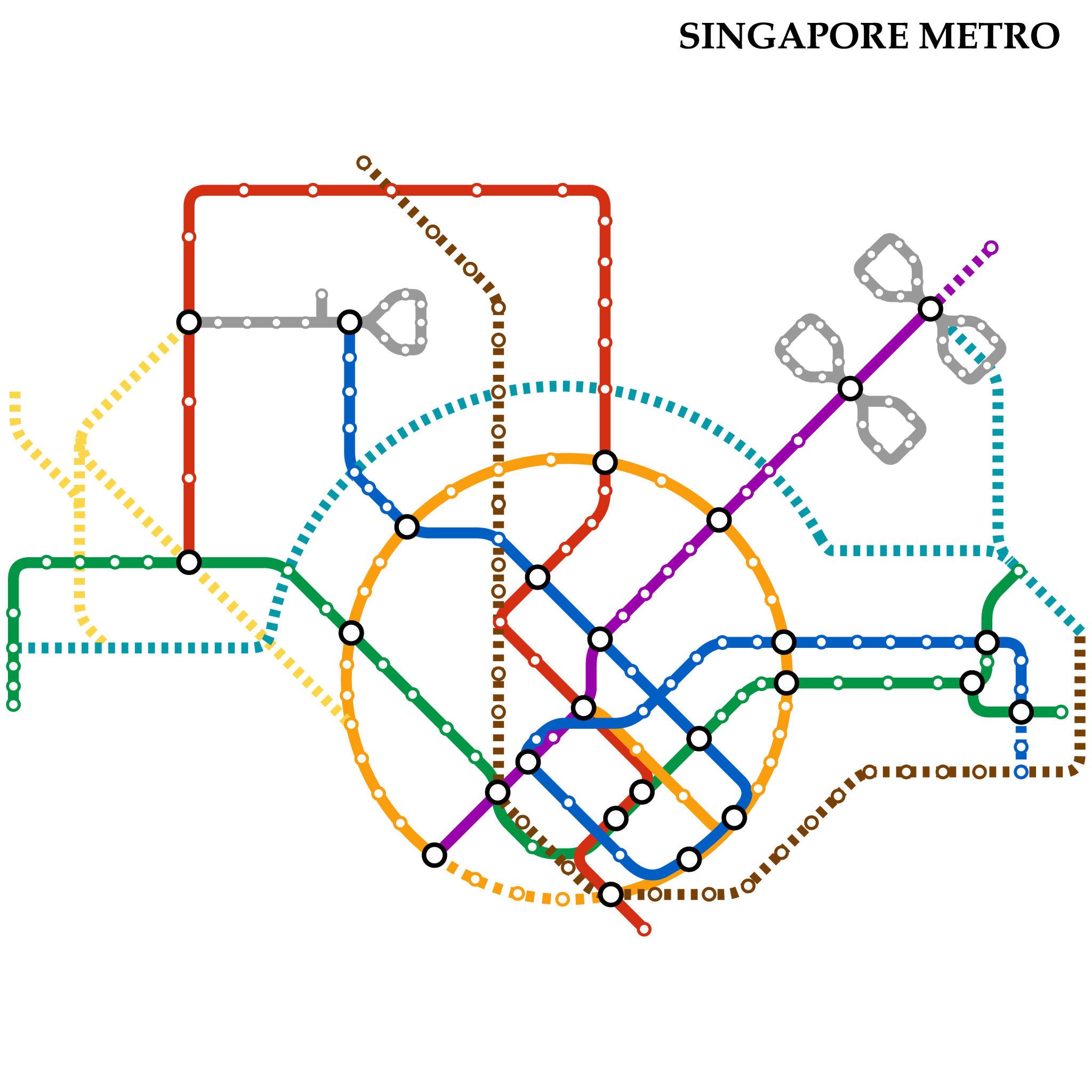
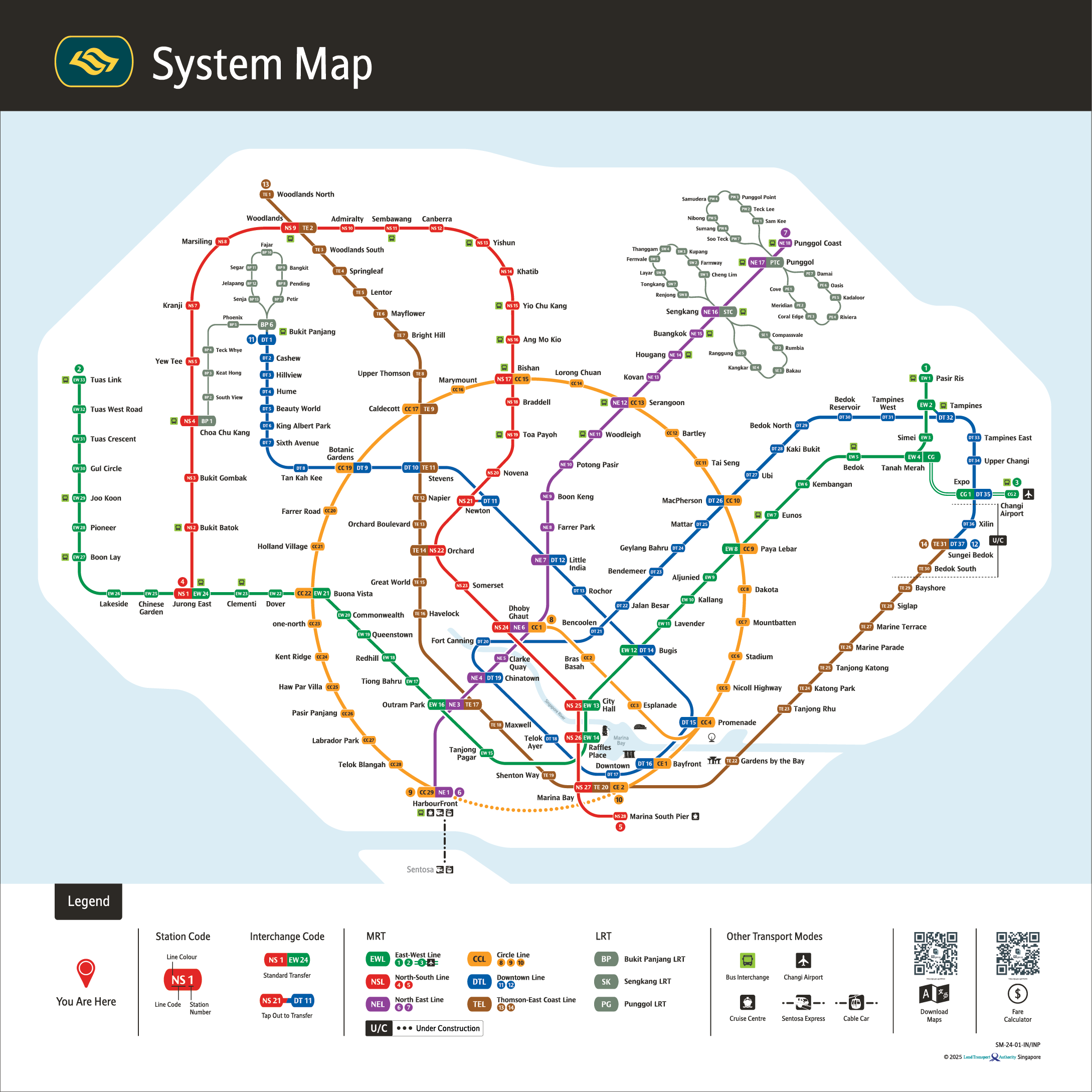
The MRT map is a visual representation of Singapore’s rail network. It shows:
- All MRT lines and routes
- Station names and interchanges
- Connections between different lines
- Directions and terminal stations
The map is designed using color-coded lines, making it easy to understand even for first-time users.
Overview of Singapore MRT Lines
Singapore’s MRT system consists of several major lines, each serving different parts of the island.
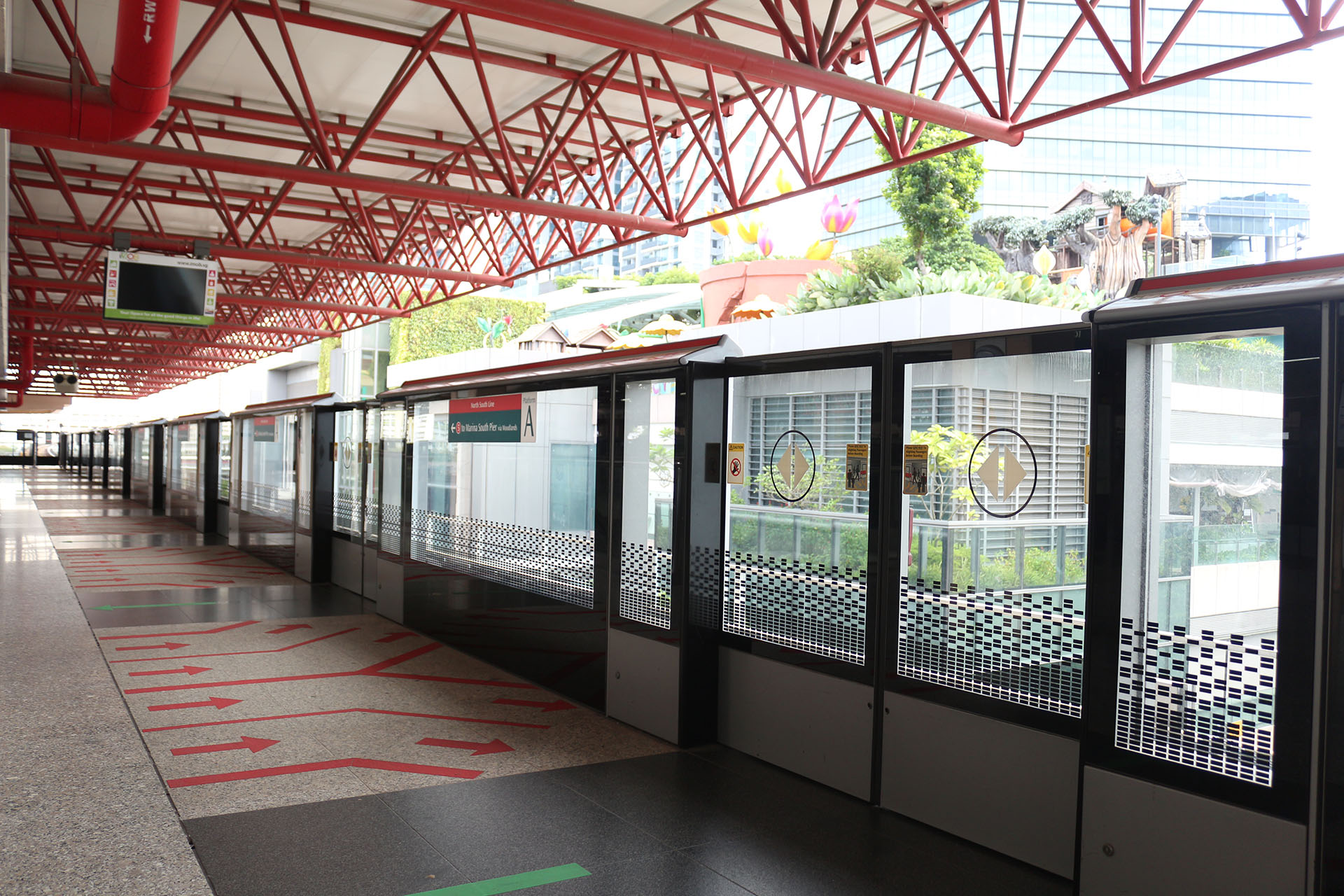
1. North-South Line (Red Line)
- Connects Jurong East to Marina South Pier
- Passes through key areas like Orchard and City Hall
2. East-West Line (Green Line)
- One of the longest lines
- Connects Tuas Link to Pasir Ris / Changi Airport
3. North-East Line (Purple Line)
- Fully automated line
- Connects HarbourFront to Punggol
4. Circle Line (Yellow Line)
- Circular route around the city
- Connects major interchange stations
5. Downtown Line (Blue Line)
- Connects Bukit Panjang to Expo
- Ideal for commuters from residential areas
6. Thomson-East Coast Line (Brown Line)
- Newer line expanding connectivity
- Connects northern and eastern Singapore
Why the MRT Map is Important


The MRT map plays a crucial role in daily travel:
1. Easy Navigation
With clear routes and station names, users can:
- Plan their journey in advance
- Avoid confusion during travel
2. Time Efficiency
By understanding the MRT map, commuters can:
- Choose the fastest route
- Reduce travel time
3. Cost Savings
Efficient route planning helps:
- Minimize transfers
- Save on travel costs
How to Read the MRT Map
Understanding the MRT map is simple if you follow these steps:
1. Identify Your Starting Point
Locate your nearest MRT station on the map.
2. Find Your Destination
Search for your destination station.
3. Check the Line Color
Each MRT line has a unique color—follow that line.
4. Look for Interchange Stations
If your journey requires switching lines:
- Identify interchange stations
- Follow connecting routes
Key Interchange Stations in Singapore
Some major interchange stations include:
- City Hall (Red & Green Line)
- Dhoby Ghaut (Red, Purple, Yellow Lines)
- Outram Park (Green, Purple, Brown Lines)
- Jurong East (Red & Green Lines)
These stations are important hubs that connect multiple MRT lines.
Benefits of Using the MRT Map in Singapore

1. Highly Efficient Transport
Singapore’s MRT system is:
- Fast
- Reliable
- Well-maintained
2. Tourist-Friendly
The MRT map is easy to understand, making it perfect for:
- First-time visitors
- International tourists
3. Environmentally Friendly
Using MRT helps:
- Reduce traffic congestion
- Lower carbon emissions
Tips for Using the MRT Map Effectively
Here are some useful tips:
- ✅ Download a digital MRT map on your phone
- ✅ Use mobile apps for route planning
- ✅ Travel during off-peak hours for comfort
- ✅ Follow station signs for directions
- ✅ Keep an EZ-Link card or contactless payment ready
Digital MRT Maps and Technology
Today, the MRT map is not limited to paper versions. Digital versions are widely available through:
- Mobile apps
- Google Maps
- Transport websites
These tools provide:
- Real-time updates
- Train timings
- Route suggestions
Future Expansion of MRT Map
Singapore continues to expand its MRT network. Future developments include:
- New stations and lines
- Improved connectivity
- Faster travel options
This means the MRT map will continue to evolve, making transportation even more efficient.
Conclusion
The MRT map is more than just a guide—it is the backbone of Singapore’s transportation system. With its easy-to-understand design, extensive network, and modern infrastructure, it ensures smooth travel for millions of commuters every day.
Whether you are a tourist exploring iconic locations or a resident commuting to work, mastering the MRT map will help you travel smarter, faster, and more comfortably in Singapore.